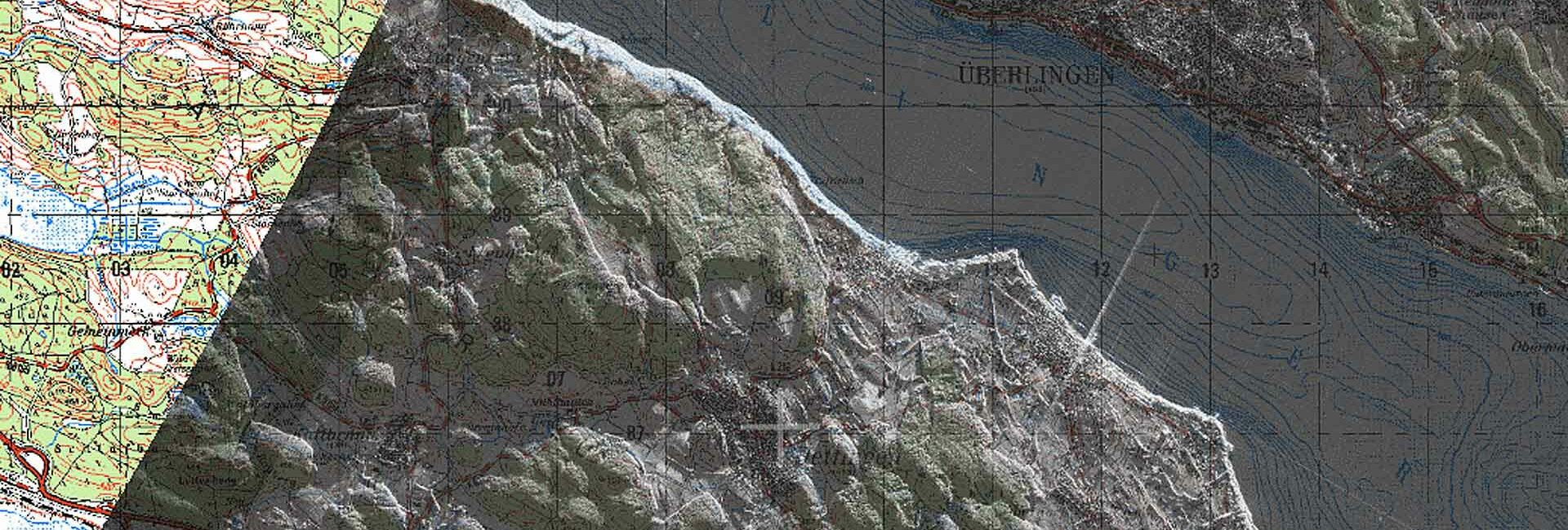
situation display
With the support of VISCO’s proven visualisation tools, techniques and tactical signs one can create a meaningful and comprehensive situational overview.
M4Com’s VISCO geographic visualisation tool provides the user with raster and vector data together with their spatial reference, geodetic data and map projections in a variety of display settings. VISCO provides a high-end image display with editing functions as well as map display with positional functionality.
VISCO functions as either a stand-alone application or integrated into an existing application via CORBA API. The OpenGL-based graphic engine is available or configurable for all major display formats, whereby the component can be extended and adapted according to user needs.
VISCO provides the overlay of spatial correlated vector and raster layers – up to Gigabyte-sized raster images. The time module adds a fourth dimension: allowing sufficient time to load and display base information including a range of replay options such as single step, forward and reverse playback mode with time compression/expansion or fixed delay between measurements.

With the support of VISCO’s proven visualisation tools, techniques and tactical signs one can create a meaningful and comprehensive situational overview.

VISCO provides support in controlling operations according to general command principles - particular for planning and executing missions.

In order to simplify the organisation of operations in hazardous situations and to make it more efficient, VISCO provides suitable options for command, communication, supply and logistics.


